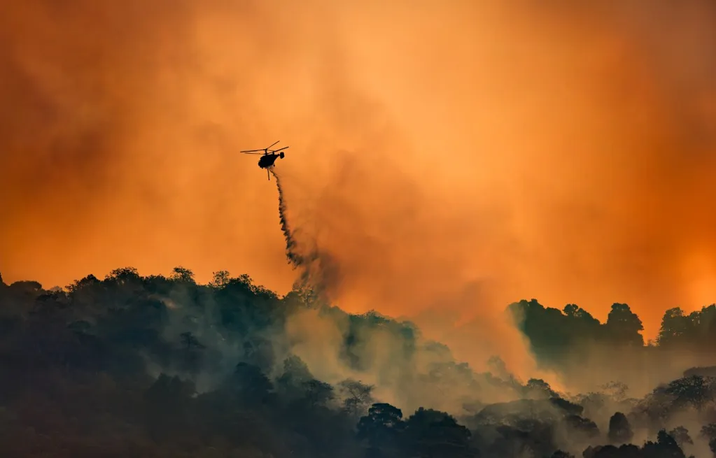
How much moisture remains in forests and grasslands as temperatures rise influences the severity of fire risk and the resources available to fight blazes once they ignite. Although California water levels can be an indicator of above-average precipitation, a California Department of Water Resources (DWR) spokesperson told Newsweek this is not indicative of wildfire risk across the Golden State.
"Reservoir levels don't have an impact on wildfire risk in California," the DWR spokesperson told Newsweek. "Low precipitation levels throughout the state mean that grasses and vegetation are more likely to be dry, which elevates fire risk. CAL FIRE does occasionally pull water from reservoirs when fighting wildfires, but it depends on proximity."
As of mid-February, state fire officials expect wildfire risk to remain near normal for the foreseeable future, according to the four-month outlook from the Wildfire Forecast and Threat Intelligence Integration Center (WFTIIC). The outlook reveals significant fire potential to remain near normal across the entire state for February through May, with several key indicators playing an important role in that outlook, including data from the California DWR.
Newsweek reached out to the California Department of Forestry and Fire Protection (CAL FIRE) by email for comment.
California's wildfire season typically begins in late spring and intensifies through summer and fall, when hot temperatures, dry vegetation and low humidity create prime conditions for fires to ignite and spread. While June through October is often considered the core of the season, officials warn that wildfires can occur at any time of year, especially during prolonged droughts or periods of strong offshore winds.
In Northern California, the most dangerous fires often erupt in late summer and early fall, while Southern California faces heightened risk in the fall and winter when Santa Ana winds can rapidly fan flames. In recent years, climate change has blurred the traditional boundaries of wildfire season, prompting fire agencies to stress year-round preparedness for residents across the state.
All of California's major reservoir water levels are at 100 percent or higher of their historical average, according to California DWR water data. Lake Cachuma in Southern California is the furthest from average, with its water levels at 101 percent of lake capacity, which is 146 percent of the historical average for this time of year.
Other top performers include Lake Oroville in Northern California, which is at 81 percent of capacity, or 132 percent of historical average; New Melones Lake in Central California, at 74 percent of capacity, or 127 percent of average; and Lake McClure in Central California, which is at 67 percent capacity or 139 percent of average, among others.
Since the water year began on October 1, 2025, 14.63 inches of precipitation has fallen, which is 118 percent of historical average. Despite these numbers, January was abnormally dry, with DWR officials expressing concern over statewide snowpack levels, which were at only 59 percent of average for this date.
National Weather Service (NWS) meteorologists are predicting a weather pattern change across the state, with back-to-back storms set to hit this week and into the weekend.
"Rain is almost certain over southwest California in Feb 14-19 time window," NWS Los Angeles posted on X on Sunday. "Range of outcomes in terms of the amounts, intensities, and impacts. Stay tuned for more details as we get deeper into the week."
Included with the post was a screenshot from the NWS Climate Prediction Center, in which all of California had a chance at above-average precipitation over the next few weeks.
Northern California is expecting more storms once March hits, the WFTIIC outlook said.
"Alignment of critically dry dead-live fuels is not expected during most of the outlook period due to timely moisture intrusions, robust lowland green-up, extended periods of mid and upper elevation snow cover and shorter burn periods," the outlook said. "May is likely to be a transitional month due to noticeable lowland herbaceous curing and growing pockets of unusually flammable dead fuels therefore spread potential will be increasing then. Significant Fire Potential is projected to be normal which means minimal to no large fire occurrence during the outlook period."
In Southern California, the WFTIIC anticipates below-normal precipitation and above-normal temperatures, although fire threat is expected to remain near normal.
"Despite the expected warm and dry pattern, the potential for large fire is expected to remain minimal through April due to late 2025 precipitation and associated increase in live fuel moistures and green-up," the outlook said.