Dean Fioresi is a web producer for CBS Los Angeles. He covers breaking news throughout Southern California. When he's not writing about local events, he enjoys focusing on sports and entertainment.
An evacuation warning is in place near the Palisades Fire burn scar as a powerful winter storm closes in on Southern California to start the new week.
Several weather advisories and warnings were also announced by the National Weather Service due to the "heavy to moderate rain and a chance of high wind and thunderstorms," beginning on Monday, according to a news release from Los Angeles Mayor Karen Bass' office.
The weather is expected to persist through Wednesday, with the heaviest rainfall predicted between 6 a.m. and 6 p.m. on Monday. Light to moderate rain is also expected to linger through Friday.
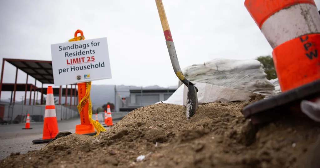
"Ahead of heavy rain forecasted this week, first responders, Public Works crews, and City personnel are taking action to keep Angelenos safe and will be ready to respond to any potential impacts," said Mayor Bass. "This is likely to be another significant rain event. All Angelenos - especially those in burn scar areas - are encouraged to follow official guidance, use caution on the roads, plan ahead, and stay informed. Sign up for emergency alerts at NotifyLA.org."
An evacuation warning was scheduled for Sunday night, beginning at 9 p.m. and lasting through Tuesday at 9 a.m. for residents living near the Palisades, Sunset and Hurst burn scar areas due to the potential for mud and debris flows. Residents in the affected area were urged to remain vigilant, gather essentials and plan ahead if they have to evacuate.
On Saturday, Caltrans officials also said that Topanga Canyon Boulevard, or State Route 27, would be closed to the public starting at 10 p.m. on Sunday night. The area has been hit with several mudslides and is subject to lengthy traffic closures by traffic officials.
It's unclear exactly when the road would be reopened to the public, but Caltrans officials said that "crews will reassess road conditions when it is safe to do so. Reopening is dependent on improved weather and road conditions."
NWS officials issued a Flood Watch for all of Los Angeles from 9 a.m. to 9 p.m. on Monday and a Wind Advisory that begins Monday at 6 a.m. and lasts until 6 p.m.
They also issued a High Surf Advisory beginning Monday at 10 a.m. and lasting through Thursday at 9 a.m. for beach communities including the Pacific Palisades, Playa del Rey, San Pedro and the Port of Los Angeles areas.
"Angelenos are encouraged to avoid the ocean," the release said.
A Gale Watch, which "includes sustained surface winds near coastal areas," was also scheduled to go into effect starting at 6 a.m. on Monday and lasting until 6 p.m. in the same ocean communities.
Residents were advised that LA's Emergency Operations Center would activate on Monday and coordinate with the Emergency Management Department, Los Angeles police and firefighters and Los Angeles County Public Works to "ensure all personnel are ready to respond as needed to keep Angelenos safe."