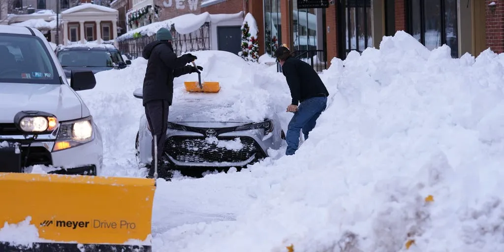
ERIE, Pa. -- A new winter storm is set to barrel across the Great Lakes into the Northeast this week, adding dangerous winds and potential near-blizzard conditions to places still digging out from feet of snow that fell over the past several days.
The storm could even bring a few snowflakes along the Interstate 95 corridor.
The storm system, known colloquially as an "Alberta Clipper" due to its quick pace and origins inside its namesake Canadian province, will first bring a punch of wind and areas of snow to the Great Lakes and Upper Midwest on Wednesday.
The heaviest snows on Wednesday will once again be generated by lake effects and relegated to the eastern shores of Lake Superior and Lake Michigan. Winter Storm Watches and Warnings are in effect for Michigan's western snowballs and the Upper Peninsula for new snow totals exceeding a foot.
"That wind is straight down out of Canada, pulling down more in the way of the cold air - part of the reason why so many folks across the eastern part of the country are dealing with below average temperatures," says FOX Weather Meteorologist Ian Oliver. "That also keeps the lake-effect snow machine rolling. So December is kicking off with a bang."
Winter Storm Watches and Lake Effect Snow Warnings are back in effect from late Wednesday through Thursday night. Another 7-12 inches of snow with isolated higher amounts are likely along the eastern shores of Lake Ontario and Lake Erie. Those areas have been digging out from the 3-5 feet of lake-effect snow accumulated since Friday.
Heavy snows are also likely in interior New England into Maine from the moisture associated with the storm center as it tracks over that area Thursday.
Lighter but accumulating snow is expected across the lower elevations of central New York and northern Pennsylvania.
While strong winds were not much of a factor in previous lake-effect storms, this time, ferocious winds will blow across the Northeast as the powerful low pressure center pushes across the region.
Widespread gusts of 40-50 mph are likely, creating near-blizzard conditions along lake effect snow belts. Wind Advisories cover 35 million across Northeast cities including New York City and Philadelphia.
Depending on timing Thursday, some areas along I-95 corridor might see wet snow or rain/snow mix though neither New York, Philadelphia nor Boston has yet seen measurable snowfall this season.
