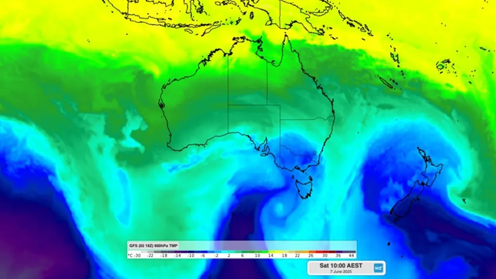
A series of cold fronts is moving across southeastern Australia this week, set to send temperatures tumbling and bring snow to alpine regions.
Cold air will sweep through New South Wales, Victoria, and Tasmania, with light snow expected in the high mountains.
According to Weatherzone, the midweek chill will mark the unofficial opening of the ski season, with several days of fresh snowfall on the cards.
'Wednesday night and Thursday morning will be particularly cold, with minimum temperatures forecast to reach -5 to -7°C in the Vic and NSW Alps,' Weatherzone said.
The real chill is expected to hit over the weekend, when two cold fronts are forecast to sweep across southeastern Australia, one on Saturday, followed by another on Sunday.
This back-to-back system is expected to deliver a steady stream of cold air and snowfall, with snow likely each day from Saturday through at least Tuesday.
The timing couldn't be better for ski resorts, with the King's Birthday long weekend approaching.
'Tuesday's front won't deliver a lot of natural snow,' Weatherzone said.
A cold front is moving across the country, bringing cool weather into the long weekend
'But it will cause temperatures to drop and allow ski resorts to make plenty of artificial snow in the lead-up to the weekend.'
The June long weekend typically signals the start of the ski season for most of Australia's main resorts.
However, early June is often unreliable when it comes to natural snow, and in some years, there isn't enough coverage to open slopes this early.
Weatherzone says this year looks more promising.
'Fortunately, Mother Nature will be kindly serving up several bursts of cold weather over the coming week, including a good bout of fresh natural snow over the long weekend and early next week,' they added.
Perth meanwhile is set to receive its heaviest rainfall this year as a slow-moving low pressure system brings rainfall totals potentially exceeding 85mm over Tuesday and Wednesday.
The extreme conditions in the first week of winter come after Australia enjoyed its fourth warmest autumn on record.
The south-western regions of Western Australia will cop a soaking after a relatively dry start to 2025 with below-average rainfall in its capital.
Temperatures in single digits are forecast in Melbourne, Sydney and other cities.
Check the forecast below for your capital city this week.
Sydney
- Wednesday: Partly cloudy. Min 11 Max 16
- Thursday: Sunny. Min 8 Max 17
- Friday: Partly cloudly. Min 8 Max 18
Melbourne
- Wednesday: Showers. Min 8 Max 14
- Thursday: Partly cloudy. Min 6 Max 15
- Friday: Shower or two. Min 7 Max 14
Brisbane
- Wednesday: Sunny. Min 14 Max 23
- Thursday: Sunny. Min 11 Max 22
- Friday: Mostly sunny. Min 11 Max 23
Perth
- Wednesday: Showers and storms. Min 13 Max 20
- Thursday: Showers. Min 12 Max 20
- Friday: Partly cloudy. Min 8 Max 19
Adelaide
- Wednesday: Sunny. Min 4 Max 16
- Thursday: Shower or two. Min 5 Max 18
- Friday: Showers. Min 9 Max 19
Hobart
- Wednesday: Cloudy. Min 4 Max 12
- Thursday: Cloudy. Min 6 Max 13
- Friday: Shower or two. Min 4 Max 14
Canberra
- Wednesday: Cloud clearing. Min 2 Max 12
- Thursday: Morning frost, Sunny. Min -3 Max 13
- Friday: Morning frost, cloudy. Min -3 Max 13
Darwin
- Wednesday: Mostly sunny. Min 22 Max 32
- Thursday: Mostly sunny. Min 22 Max 31
- Friday: Partly cloudy. Min 21 Max 32