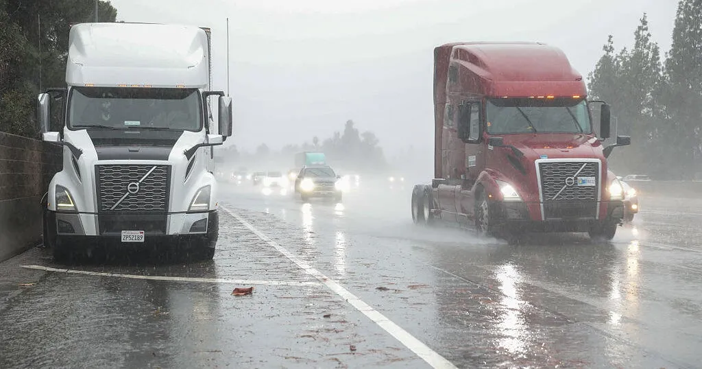
A powerful Christmas Day storm battered the San Francisco Bay Area and Central Coast with damaging winds, heavy rain and flash flooding, prompting multiple warnings and travel hazards across the region, forecasters said.
The National Weather Service said in its daily forecast discussion that the main band of rain moved east early Thursday, but the impacts were still unfolding as runoff flowed through urban areas and scattered showers continued. Severe thunderstorm and flash flood warnings were issued overnight as intense rain and wind swept through the Bay Area.
Forecasters said the overnight and early morning storm is a precursor to what is expected to be the most impactful line of storms yet, with the impacts expected to be felt by midnight Friday morning.
Early Thursday, wind gusts reached extreme levels in coastal and elevated terrain, including 92 mph in northwestern San Mateo County, 91 mph near Santa Cruz Harbor and 90 mph in the Marin County highlands and atop Mount Umunhum. Downtown San Francisco recorded 0.74 inches of rain in a 12-hour period overnight.
Emergency officials reported roadway flooding throughout the Bay Area, along with downed trees, branches and power lines blocking streets. The weather service urged drivers to avoid flooded roads and warned of continued travel disruptions.
A flood watch remained in effect through Friday evening for the Bay Area and Central Coast, with the primary threats being flash flooding and landslides caused by high rain rates. Forecasters cautioned that another round of organized thunderstorms could redevelop late Thursday afternoon and evening as a disturbance approaches the coast.
Christmas Day and night travel could be significantly impacted by power outages, flooding and debris-covered roadways across the Bay Area and Central Coast, the Weather Service said. Meanwhile, dangerous marine and beach conditions are expected to continue through Friday, with gale to near-storm-force winds and hazardous seas along the Pacific coast, prompting the Weather Service to issue a gale warning and a beach hazards statement.
Forecasters said there was still a slight chance of severe thunderstorms through Thursday evening, along with the possibility of brief tornadoes or waterspouts moving onshore.
Conditions were expected to gradually improve beginning early Friday as winds weaken and showers taper off. By Friday evening, winds should turn northerly, ushering in drier and cooler weather for the weekend.
Clearer skies and colder nights are forecast Saturday through Tuesday, with calm conditions expected across much of Northern California. Looking ahead, meteorologists said another storm system could arrive around Jan. 1 or 2, coinciding with King Tides, though no major impacts are yet expected.