National Weather Service (NWS) meteorologists issued a flood watch for millions of Americans across five states on Thursday ahead of a storm system expected to bring heavy rain on Friday.
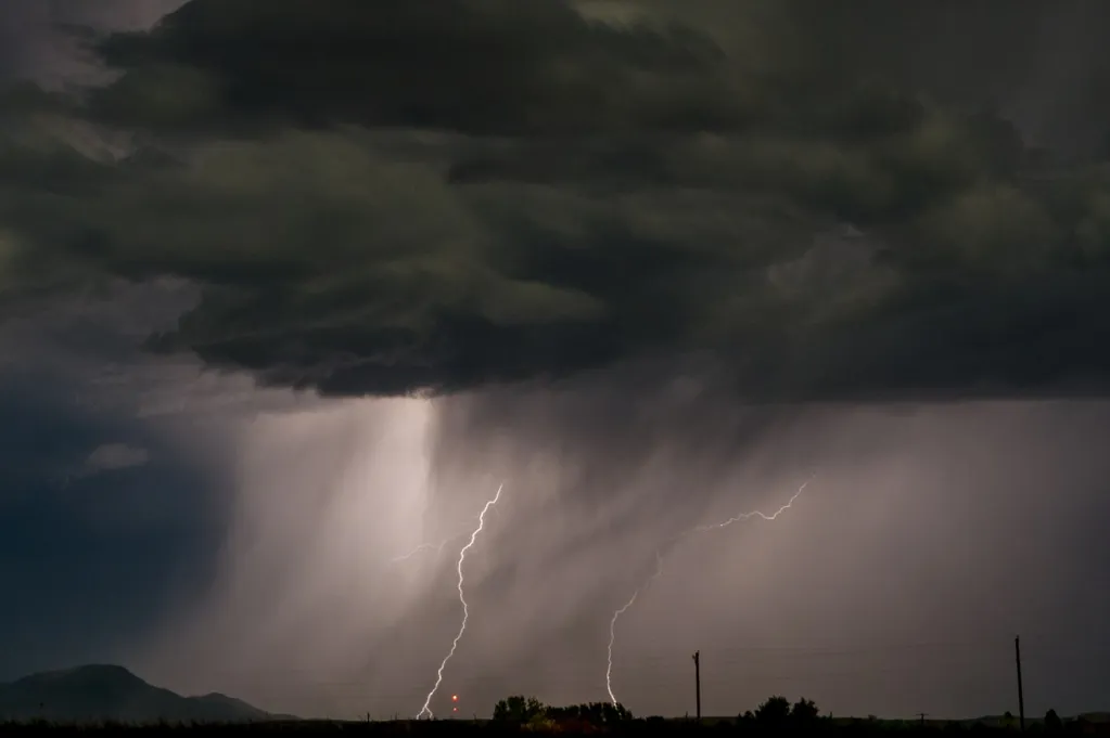
The forecast comes as a severe thunderstorm brought high winds and multiple tornadoes to Oklahoma on Thursday. The storm system is expected to continue trekking east, expanding into the U.S. South and up through the Great Lakes region to end the week. Heavy rain is expected, and NWS meteorologists issued the flood watches to alert people to the incoming flood-related impacts.
As of Thursday afternoon, flood watches were issued in southeastern Louisiana, across Mississippi, the northern half of Alabama, central Tennessee and up into Wisconsin. Major cities expecting impacts from the storm include Birmingham, Alabama; Jackson, Mississippi; Nashville, Tennessee; and Green Bay, Wisconsin, among others.
"We do get occasional severe flooding events throughout the winter just about every year," NWS Birmingham, Alabama, meteorologist Hunter Robinson told Newsweek.
Robinson added that the heaviest rain will fall from Friday night into early Saturday morning for Birmingham, although this timeframe could change for other areas. Most of the flood watches will go into effect Friday morning.
"Strong to severe thunderstorms are forecast to develop Friday afternoon through Friday night as our next cold front approaches the region," NWS Birmingham said in a Thursday forecast. "There is currently a Slight Risk (Level 2 out of 5) for severe storms across much of west-central Alabama. A Marginal Risk (Level 1 out of 5) risk extends east towards the AL/GA state line. The environment will be supportive of damaging winds, a few tornadoes, and large hail. Make sure you have multiple ways to receive warnings tomorrow!"
Animated weather footage from windy.com shows that as of Thursday afternoon, around 2:30 p.m. Eastern time, the storms are centered over the central U.S.
Over the next three days, the heaviest rainfall is expected in the U.S. South, with windy.com rainfall estimates anticipating over 5 inches of rain in some parts of Alabama.
Currently, the strongest wind gusts associated with the storm system are occurring in the central U.S. For example, windy.com showed wind gusts higher than 40 knots, or roughly 46 mph, in Missouri.
In addition to the incoming flood threat, NWS offices also warned of expected strong winds.
"A strong system will approach the area tonight with strong and gusty winds in the mountains and foothills from this evening through around Noon Friday," the NWS office in Morristown, Tennessee, said in a hazardous weather outlook. "Southwesterly winds will increase to 20 to 30 mph with gusts up to 55 mph in the advisory area."