South Today weather presenter Alexis Green looks back on the weather events of 2025, in which several records were broken.
January was the second coldest January for the UK since 2010.
The month was drier than average, colder than average, but also the fifth sunniest on record.
February was a quiet month with relatively little in the way of impactful weather.
Although temperatures for the UK in the first two weeks were below average, the shift mid-month to warmer conditions led to an overall mean temperature above average for the month.
The anticyclonic influence - a high pressure system that means no clouds are formed - made for a drier than average month.
Spring was the warmest and sunniest on record in the UK, and also the driest since 1893.
There were four official heatwaves, with above average sunshine.
Almost every month this year, except June, has had below average rainfall.
June had slightly above average rainfall but Dorset only had 44% of its average monthly rainfall in July.
Following an extremely dry spring, southern England saw only 30% of the whole summer's long-term average.
Rainfall during the first half of August was below average and some places had no measurable rainfall at all, such as Charlwood in Surrey and south Farnborough in Hampshire.
The UK also experienced a significant marine heatwave during the summer months.
According to analysis by Met Office climate scientists, a summer as hot or hotter than 2025 is now 70 times more likely than it would be in a "natural" climate with no human caused greenhouse gas emissions.
The extremely dry spring left soils parched.
With less moisture available for evaporation, more solar energy went directly into heating the air.
A dominant high-pressure system has also been sitting over the UK, squashing the air and causing sinking air that suppresses cloud formation.
This resulted in clear skies and strong sunshine, which heated the ground. With little wind and continued sunshine each day, temperatures built up over time.
Shoreham in West Sussex saw 159% of its average rainfall, and many other places had above average rain.
October saw below average sunshine, above average temperatures, and in some places below average rainfall.
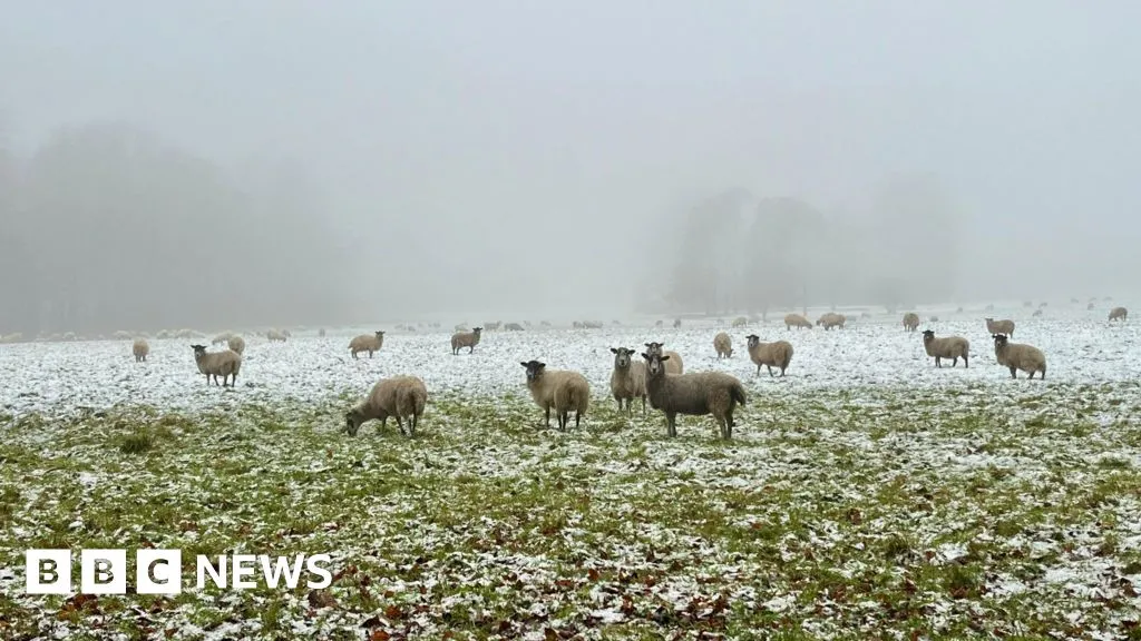
November was a month of two halves. It was mild, dry and gloomy at first, then storms, snow, and heavy rain closed it out.
Bonfire Night was exceptionally mild in places, with a few sites not dropping below 14C, such as St Catherine's Point on the Isle of Wight, the Isle of Portland, and Southampton, making it the warmest on record.
It was the second wettest autumn in Oxfordshire's history.
Temperatures for the UK were above average, with a mean temperature of 9.92C, which is 0.20C above the long-term meteorological average.
For the first part of the month temperatures were above average, but high pressure around Christmas has brought cooler, sunnier weather.
By 12 December Middle Wallop in Hampshire had already seen 81% of its average monthly rainfall.