A powerful cold front is ripping through Australia's southeast, bringing damaging winds, heavy snowfall, and widespread disruption across New South Wales.
The intense system, which soaked Adelaide in its wettest 24 hours since January 2024, has already dumped 25cm of snow over NSW and Victoria's alpine regions.
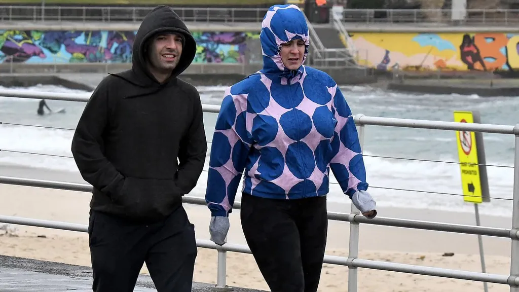
A fierce westerly wind trailing behind the front are wreaking havoc, with both coastal and inland areas of NSW bearing the brunt.
Just before 2pm on Thursday, Sydney recorded wind gusts of 57.4km/h.
Severe wind warnings remain in place for the Illawarra, southern Sydney, Newcastle, the Snowy Mountains and Canberra, with authorities urging residents to brace for more intense gusts and potential damage into Friday.
'We're expecting the strongest winds over the next 24 hours, particularly across eastern NSW,' a Bureau of Meteorology Meteorologist Angus Hines said.
'We're seeing widespread gusts that could bring down trees and powerlines, and cause dangerous driving conditions.'
Winds are tipped to ease across Sydney and Newcastle from late Thursday afternoon, but gusty conditions will linger through the night in the Illawarra and Tablelands, finally calming by Friday lunchtime.
Fierce westerly winds will wreak havoc across both coastal and inland areas of NSW over the next 24 hours, sparking a series of weather warnings.
A cold front sweeping from Sydney down to Canberra will be in place over the weekend, sending temperatures plunging across the southeast.
Drivers, especially motorcyclists, have been urged to take extra caution, with fallen branches, blackouts, and disruptions to transport services likely.
In Victoria, a separate coastal hazard warning for dangerously high tides along the Gippsland coastline is expected to peak around 8pm on Thursday.
Low-lying areas around Lakes Entrance, where the Gippsland Lakes meet the Southern Ocean, are at risk of minor flooding and seawater inundation.
Residents are advised to secure loose items, avoid unnecessary travel, and stay up to date with the latest warnings via the Bureau of Meteorology's website and app.
Forecast
- Sydney
Friday: Sunny Min 8 Max 19
Saturday: Sunny. Min 9 Max 20
Sunday: Sunny. Min 7 Max 19 - Melbourne
Friday: Showers. Min 7 Max 16
Saturday: Partly cloudy. Min 7 Max 17
Sunday: Showers. Min 10 Max 17 - Brisbane
Friday: Sunny. Min 10 Max 21
Saturday: Sunny. Min 9 Max 22
Sunday: Sunny . Min 9 Max 22 - Perth
Friday: Showers. Min 5 Max 20
Saturday: Showers. Min 11 Max 19
Sunday: Shower or two. Min 7 Max 17 - Adelaide
Friday: Showers. Min 11 Max 16
Saturday: Sunny. Min 9 Max 18
Sunday: Showers. Min 10 Max 17 - Hobart
Friday: Shower or two. Min 4 Max 13
Saturday: Partly cloudy. Min 4 Max 13
Sunday: Showers. Min 9 Max 16 - Canberra
Friday: Frost then cloudy. Min -1 Max 10
Saturday: Morning frost. Cloud clearing. Min 0 Max 13
Sunday: Morning frost. Partly cloudy. Min -3 Max 13 - Darwin
Friday: Sunny. Min 19 Max 31
Saturday: Partly cloudy. Min 21 Max 32
Sunday: Partly cloudy. Min 22 Max 32